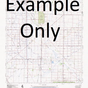
NSW 9440-3N – Tunglebung Online
- Estimated Delivery : Up to 4 business days
- Free Shipping & Returns : On all orders over $200
This Topographic Map is produced by the New South Wales Government.
This map is supplied in digital in PDF format, which means it can be printed at home or sent to a professional printer for a 100% scale reproduction.
At this scale, 4cm on this map represents 1km on the ground. A standard map (which is square) covers an area of approximately about 12.5km by 12.5km, with a contour interval of 10m. This map contains natural and constructed features including road and rail infrastructure, vegetation, hydrography, contours, localities and some administrative boundaries.
Blacks Camp Creek Black Camp Bottle Creek Bottle Creek Public School Branch Creek Branch of Tunglebung Creek Buglers Knob Cambridge Plateau Cambridge Plateau Flora Reserve Culmaran Creek Emu Evans Jacksons Flat Lanes Creek Peacock Peacock Range Smearingyard Creek Tabulam Tihney Mountain Tryney Creek Tryney Mountain Tunglebung Creek Tunglebung Tunglebung Falls Dingo Knob Bonalbo State Forest Lower Bottle Creek Lower Peacock Toomloom Rivulet Tooloom Rivulet Peacock Creek Tunglebong Creek
| Title | Pdf Download |
|---|


