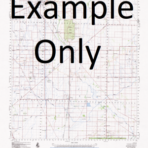
NSW 9438-2N – Coutts Crossing Supply
- Estimated Delivery : Up to 4 business days
- Free Shipping & Returns : On all orders over $200
This Topographic Map is produced by the New South Wales Government.
This map is supplied in digital in PDF format, which means it can be printed at home or sent to a professional printer for a 100% scale reproduction.
At this scale, 4cm on this map represents 1km on the ground. A standard map (which is square) covers an area of approximately about 12.5km by 12.5km, with a contour interval of 10m. This map contains natural and constructed features including road and rail infrastructure, vegetation, hydrography, contours, localities and some administrative boundaries.
Chambigne Rushforth Chillumbarriga Doudymui Sevenstrath Hillview Ellisoene Bayandah Rockview Hayfield Kangaroo Creek Coutts Crossing Back Creek Alipou Creek Bald Hill Creek Bardsley Beanball Creek Beantree Creek Blaxlands Swamp Blaxland Blaxland Swamp Boiling Down Creek Bom Bom Creek Bom Bom National Forest Braunstone Braunstone Railway Station Clarence Lawn Cemetery Coutts Crossing Public School Deep Creek Fiddlers Creek Halfway Creek Fir Creek Grafton General Cemetery Levenstrath Mcintosh Creek Mcintosh Memorial Park Mcphersons Crossing Main Branch of Shannon Creek Maloneys Creek Mary Edwards Island Right Hand Branch of Shannon Creek Sandstone Creek Sandstone Gully Sandy Swamp Shannon Creek Skinners Swamp Teatree Creek Tea Tree Creek Toothill Wattle Creek Wild Drake Creek Divines State Forest Bushy Park Deadmans Crossing Bom Bom Shannondale Elland Grafton Memorial Park Chambigne Creek Main Branch Deep Creek Shannons Creek Blaxlands Creek Macleay Hill
| Title | Pdf Download |
|---|


