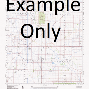
NSW 9536-3S – South West Rocks Discount
- Estimated Delivery : Up to 4 business days
- Free Shipping & Returns : On all orders over $200
This Topographic Map is produced by the New South Wales Government.
This map is supplied in digital in PDF format, which means it can be printed at home or sent to a professional printer for a 100% scale reproduction.
At this scale, 4cm on this map represents 1km on the ground. A standard map (which is square) covers an area of approximately about 12.5km by 12.5km, with a contour interval of 10m. This map contains natural and constructed features including road and rail infrastructure, vegetation, hydrography, contours, localities and some administrative boundaries.
Willawong Smoky Kentucky South West Rocks Back Beach Arakoon Arakoon State Conservation Area Big Smoky Black Rocks Captain Cook Lookout Cockle Island Fish Rock Front Beach Gap Beach Green Island The Gutter Horseshoe Cove Jerseyville Jerseyville Public School Kemps Corner Coral Island Freshwater Creek Horseshoe Bay Laggers Point Little Bay Long Reach Island Little Shark Island Little Smoky Lower Kinchela Public School Muzzers Island New Entrance North Smoky Beach Pelican Island Rainbow Reach Saltwater Creek Saltwater Inlet Saltwater Lagoon Smoky Cape Smoky Cape Range Smoky Cape Lighthouse Snake Island South Smoky Beach South West Rocks Creek South West Rocks Public School Spencers Creek Trial Bay Whisky Island Clybucca Creek Cooloondurri Black Rock Longreach Island Balls Creek
| Title | Pdf Download |
|---|

